|
|
Photo Essay
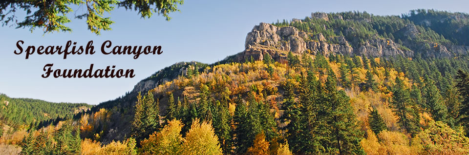
This section provides unique views of Spearfish Canyon.
- The Montage of Photos is a collection of photographs being taken overtime for a future Photo Essay publication by the Foundation.
- The Aerial Map is an assemblage of four quadrants encompassing the Canyon from USGS satellite, then generated through Arc View.
- The Elevation Map is an assemblage of four quadrants from USGS and generated through Arc View. Both Maps display Spearfish Creek and all tributaries.
|
|